
Cycling
PR3 Guadiana river banks (b)


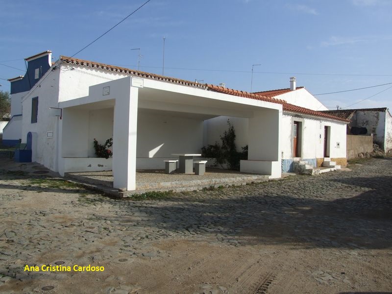
The route starts at Corte Gafo de Baixo...
Small village related to smuggling in the past...
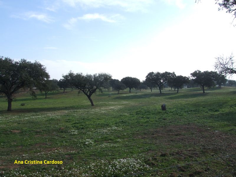
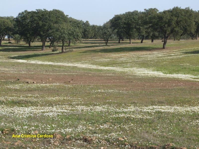
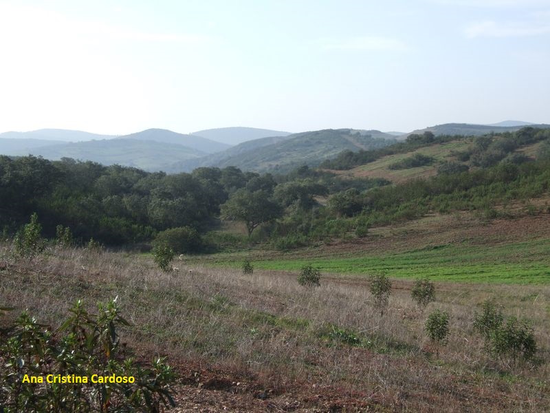
Crossing Holm Oak's 'montado'
Where life wakes up...
And the mountains arise from an undulating plain...
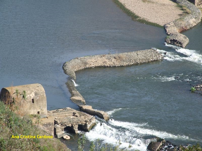
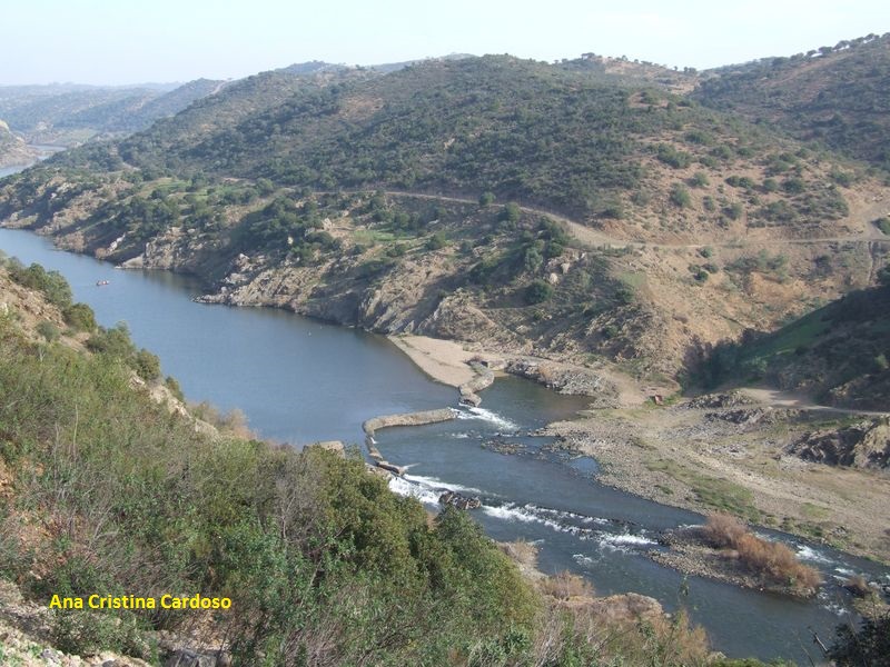
And the Guadiana is a blessing in this dry area...

And where, from long ago, people knew how to use his wealth!
Come and know this route and the banks of the Guadiana!
PR3 Guadiana river banks (b)
Share Image
In the first part of the path, the landscape is dominated by Holm Oak. On the approach to the river, it is noticeable the landscape mosaic, with dense vegetation, especially cistus, mastic tree, myrtle and gorse. These areas of thicket are the ideal habitat for Subalpine Warbler and Spectacled Warbler. The steep slopes of the river are often good to see the Blue Rock-thrush. This is still a nesting area for the Eurasian Eagle-owl and other birds of prey of the Nature Park, as well as occurrence of several species of bats, mainly due to its rarity, for the Mehely's Horseshoe Bat and the Schreiber's Bent-winged Bat. Yet along the way, it is common to observe the Fallow Deer through the thickets of rockrose. Arrived at the viewpoint, see down there moinho dos Canais (channels water mill), that only a few dare to venture into the footpath, traces of miller and smuggling activities. South in the middle of the riverbed stands an imposing rock that resembles the galley of a boat so called, as rocha da Galé (Galley Rock). You can find a huge diversity of species associated with different habitats. Species such as Bonelli's Eagle, the Eurasian Eagle-owl and the Black Stork can appear.

-
In the first part of the path, the landscape is dominated by Holm Oak. On the approach to the river, it is noticeable the landscape mosaic, with dense vegetation, especially cistus, mastic tree, myrtle and gorse. These areas of thicket are the ideal habitat for Subalpine Warbler and Spectacled Warbler. The steep slopes of the river are often good to see the Blue Rock-thrush. This is still a nesting area for the Eurasian Eagle-owl and other birds of prey of the Nature Park, as well as occurrence of several species of bats, mainly due to its rarity, for the Mehely's Horseshoe Bat and the Schreiber's Bent-winged Bat. Yet along the way, it is common to observe the Fallow Deer through the thickets of rockrose. Arrived at the viewpoint, see down there moinho dos Canais (channels water mill), that only a few dare to venture into the footpath, traces of miller and smuggling activities. South in the middle of the riverbed stands an imposing rock that resembles the galley of a boat so called, as rocha da Galé (Galley Rock). You can find a huge diversity of species associated with different habitats. Species such as Bonelli's Eagle, the Eurasian Eagle-owl and the Black Stork can appear.
-
Alentejo
-
Mértola
-
Vale do Guadiana Nature Park
Base Characterization
-
PTCON0036 Guadiana
PTZPE0047 Vale do Guadiana (Guadiana Valley)
-
ICNF - Instituto da Conservação da Natureza e das Florestas, I.P.
Route Characterization
-
Access to Mértola, from:
- Beja - IP2, IC27;
- Vila Real de Santo António - IC27;
- Castro Verde - EN123, IC27.
Access to Beja, from:
- Spain - N260;
- Lisbon - IP8.
From Mértola, head towards the N122, direction Beja. At about 3 km, turn right for the village of Corte Gafo de Cima. Take M510 just to the turning on the right for the village of Corte Gafo de Baixo. Follow to the village and start the route. Leaving behind Corte Gafo de Baixo, follow the dirt road to the gates of a tourist hunting area (Nº 171). Enter and be sure you close the gate and always follow the indicated track. At about 1 km is the 1st fork and the route continues to the right.GPS: 37.719528, -7.683498
-
Yes
-
Corte Gafo de Baixo
-
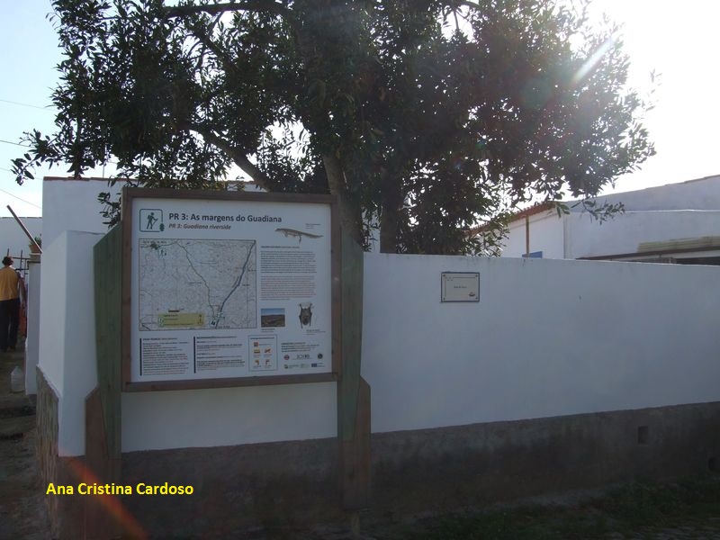
Viewpoint with information panel
-
4.8 km – 9.6 km (round trip)
-
All year, but you should avoid Summer.
-
3:30h
-
84 meters.
-
Easy
-
Linear
-
Famílias
Supports in place
-
Yes.
-
Viewpoint and interpretation panel of Vale do Guadiana Nature Park.
Topographic Profile
Restaurants and accommodation in Mértola. Leaflet (in Portuguese) [PDF 143 KB].
Access to Mértola, from:
- Beja - IP2, IC27;
- Vila Real de Santo António - IC27;
- Castro Verde - EN123, IC27.
Access to Beja, from:
- Spain - N260;
- Lisbon - IP8.
From Mértola, head towards the N122, direction Beja. At about 3 km, turn right for the village of Corte Gafo de Cima. Take M510 just to the turning on the right for the village of Corte Gafo de Baixo. Follow to the village and start the route. Leaving behind Corte Gafo de Baixo, follow the dirt road to the gates of a tourist hunting area (Nº 171). Enter and be sure you close the gate and always follow the indicated track. At about 1 km is the 1st fork and the route continues to the right.
GPS: 37.719528, -7.683498


