
Cycling
Venta Moinhos Saltmarsh bike route (b)


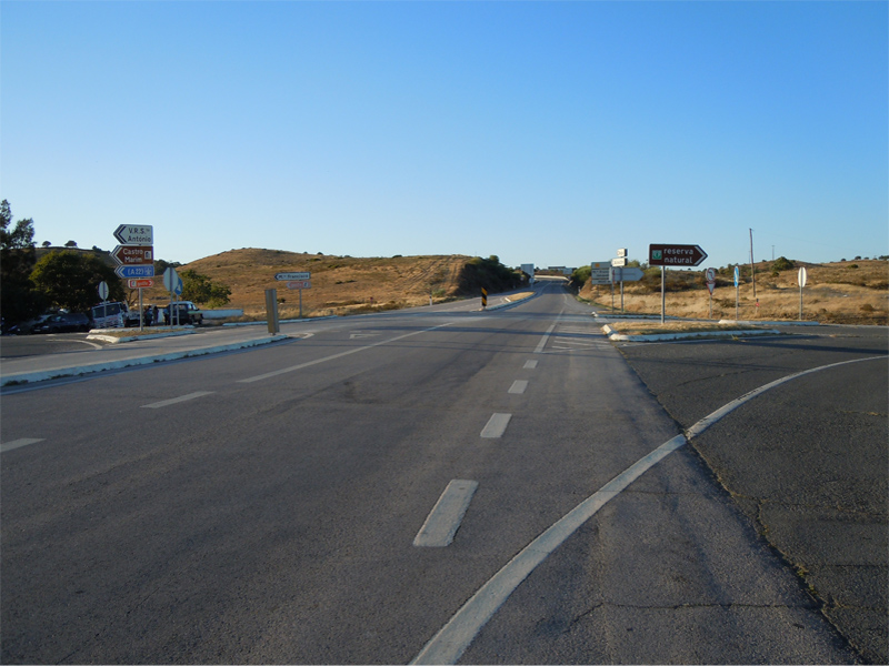
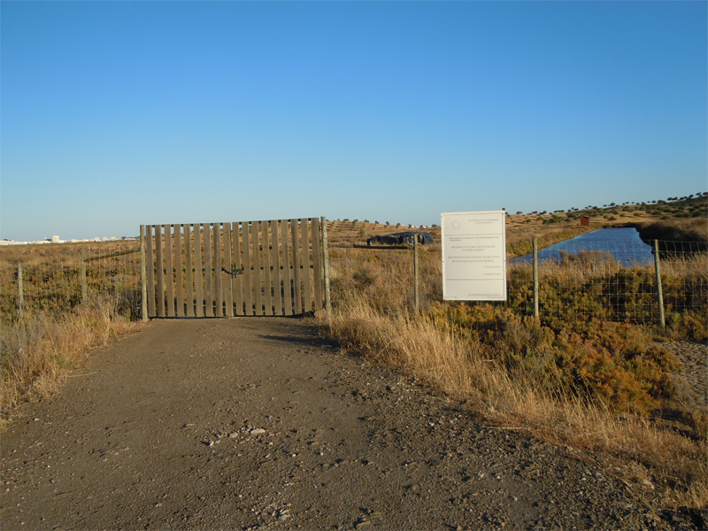
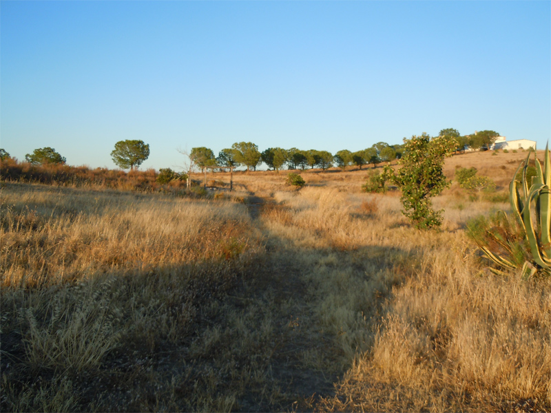
Beginning
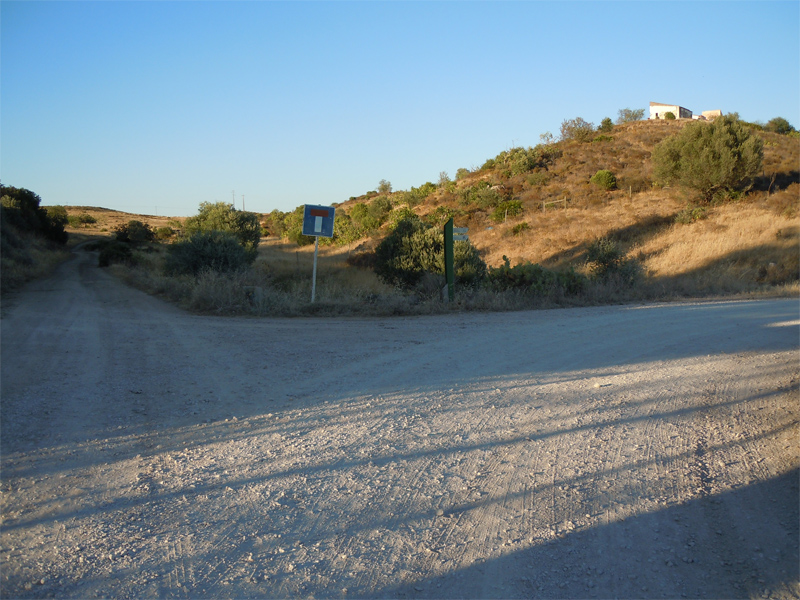
Bifurcation
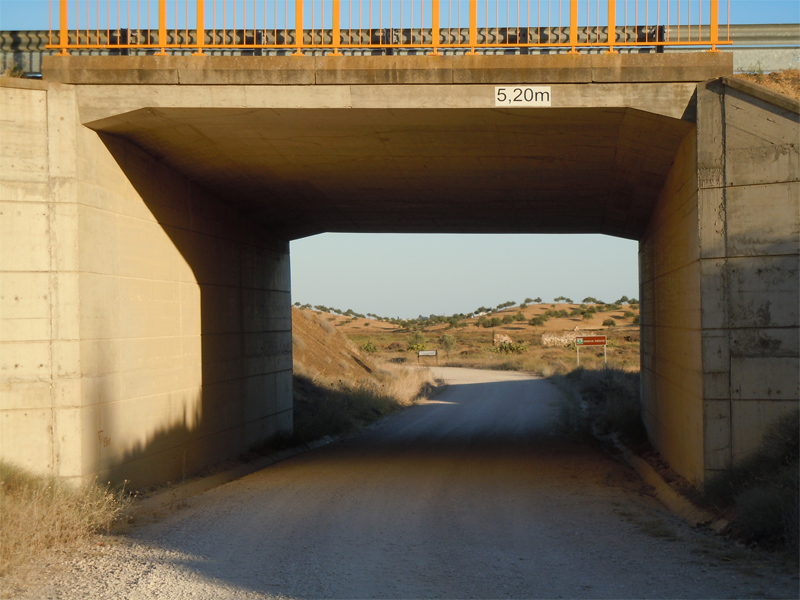
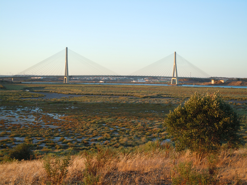
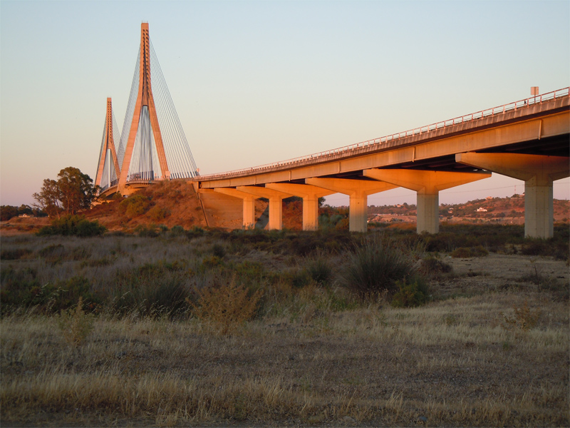
Passage under the access to international bridge
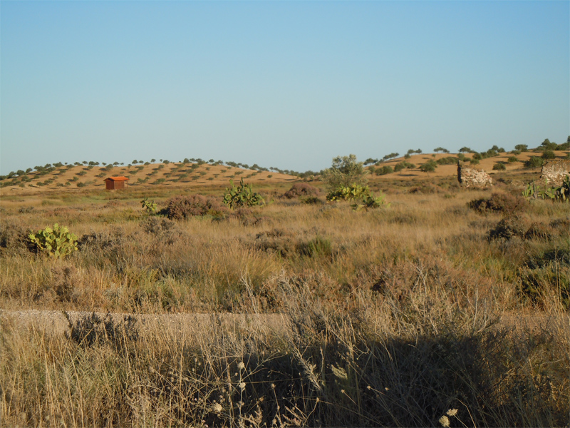
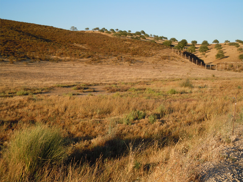
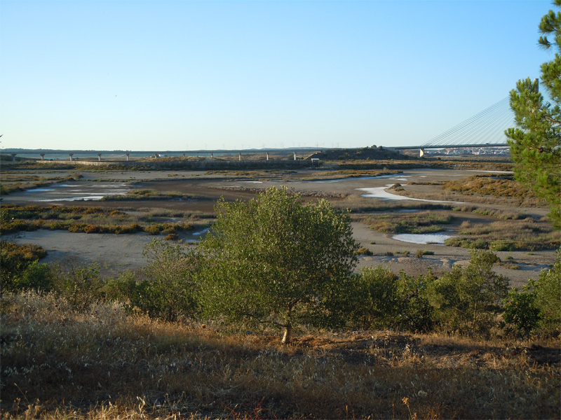
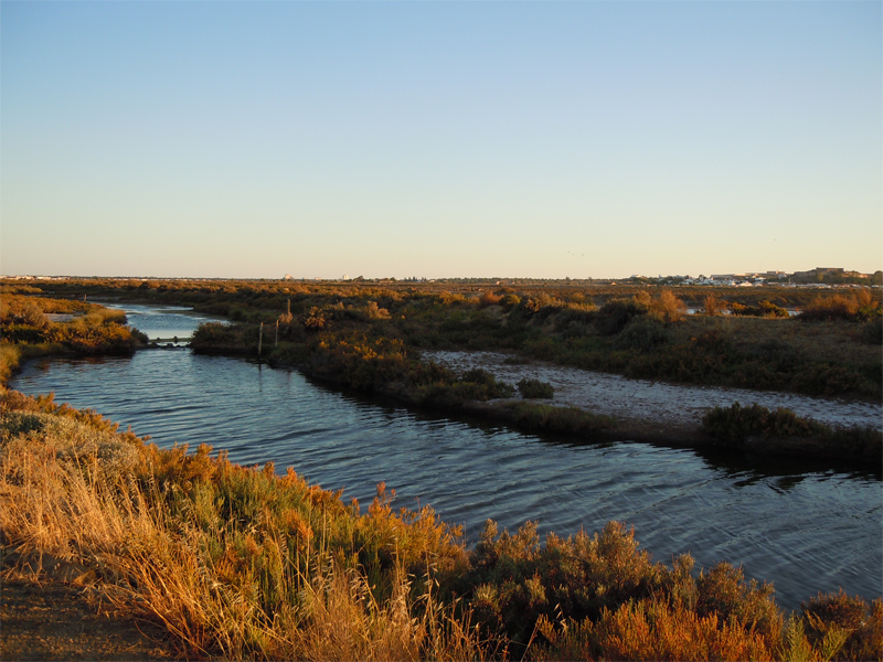
View of the marsh area, cut by esteiro do Francisco, which branches into small channels
Francisco Traditional Saltern
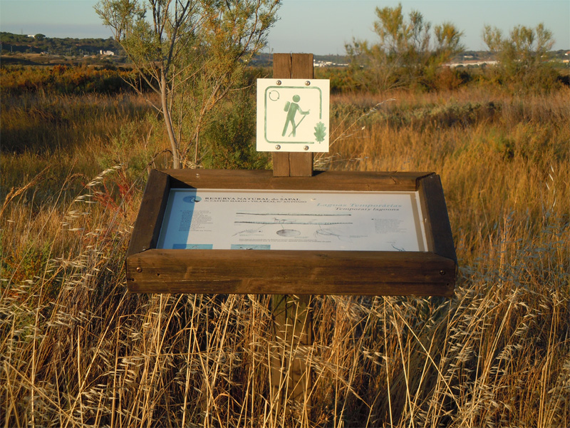
Temporary lagoon
Abandoned saltern
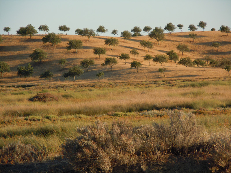
Largest carob orchard in line in Europe
Bifurcation
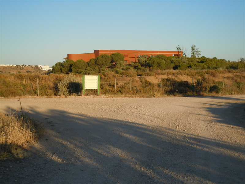
Nature Reserve Interpretation Center

Overview of the temporary pond and salterns
Temporary lagoon
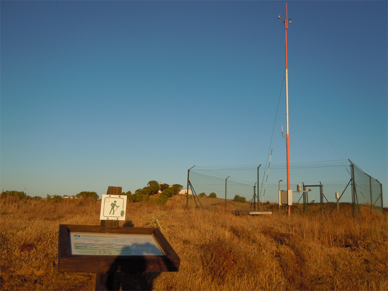
Weather Station
Biological Garden for demonstration
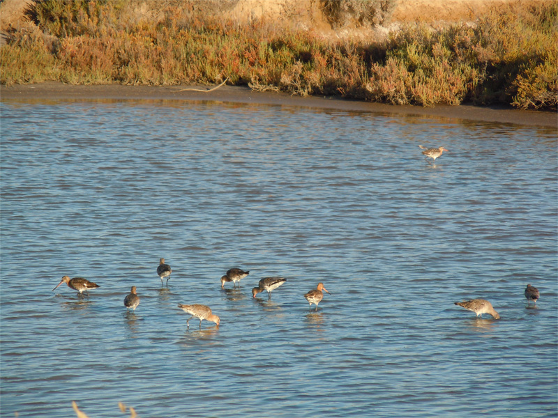
Channels where several fish species feed and reproduce
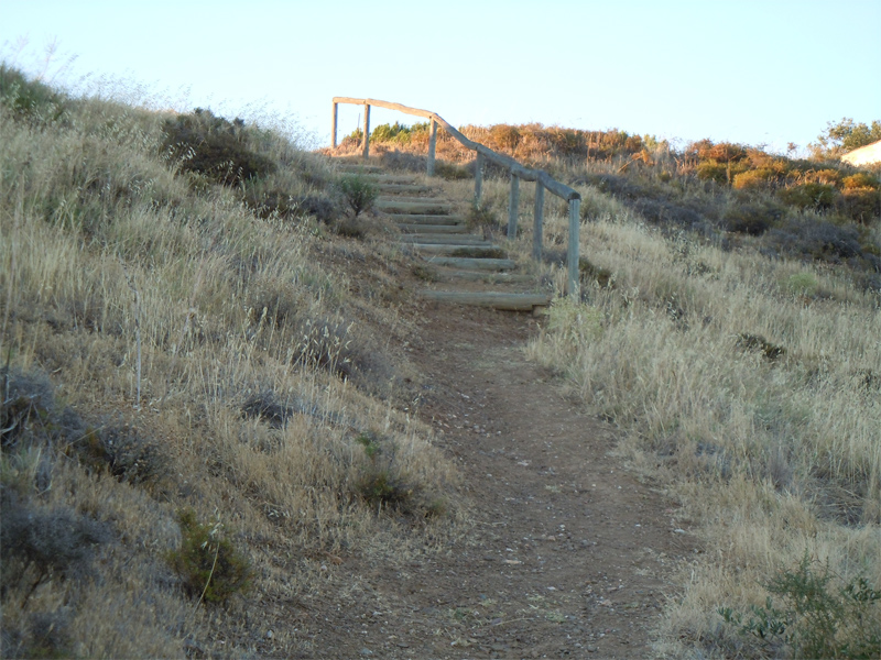
Go around the foothills and up the stairs
Cerro do Seixo - view of the salterns, saltmarshes and Guadiana river
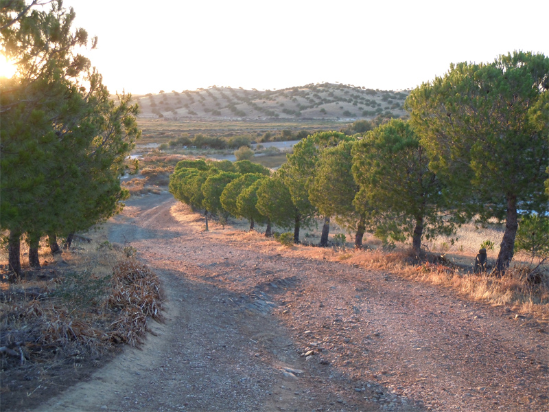
Way north, flanked by pine trees, to the car park
Birdwatching observatory in Venta Moinhos temporary pond

Passage under international bridge
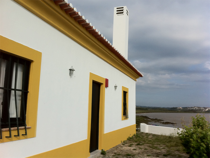
Cerro da Rocha - former home of the Fiscal Guard, today accommodation
Venta Moinhos Saltmarsh bike route (b)
Share Image
The bike route is entirely within the Nature Reserve, coinciding with the access to the Interpretation Centre, covering a small area south of that building, returning to the previous crossing with the entrance gate at the headquarters of the protected area, turning north, passes under the international bridge over the Guadiana river to reach its margin close to Cerro da Rocha. It can be done by car or bike, except for the section in the salt marsh [Sapal] of Venta Moinhos. The interpreted pedestrian circuit (500 m) is south of the building allowing you to see, in a short walk, the different biotypes in this wetland, including salt marshes, salt flats and permanent and temporary ponds. Six panels help the visitor to understand the natural and cultural values of the route. In general, you can see water birds, which vary according to the season, such as coots, grebes, mallard couples and different species of herons and waders (e.g. species that get their food from the sediment / silt) flamingos and spoonbills.

-
The bike route is entirely within the Nature Reserve, coinciding with the access to the Interpretation Centre, covering a small area south of that building, returning to the previous crossing with the entrance gate at the headquarters of the protected area, turning north, passes under the international bridge over the Guadiana river to reach its margin close to Cerro da Rocha. It can be done by car or bike, except for the section in the salt marsh [Sapal] of Venta Moinhos. The interpreted pedestrian circuit (500 m) is south of the building allowing you to see, in a short walk, the different biotypes in this wetland, including salt marshes, salt flats and permanent and temporary ponds. Six panels help the visitor to understand the natural and cultural values of the route. In general, you can see water birds, which vary according to the season, such as coots, grebes, mallard couples and different species of herons and waders (e.g. species that get their food from the sediment / silt) flamingos and spoonbills.
-
Algarve
-
Castro Marim
-
Sapal de C. Marim e V. R. Sto. António Nature Reserve
Base Characterization
-
PTCON0013 Ria Formosa / Castro Marim
PTZPE0018 Sapais de Castro Marim (Castro Marim Sall Marshes)
-
RAMSAR site. National Forests of Dunas Litorais e Vila Real de Santo António and Terras da Ordem.
-
Instituto da Conservação da Natureza e das Florestas, I.P.
Route Characterization
-
Access to the beginning of the route (crossing at IC27 between Monte Francisco and the municipal dirt road toward the sapal [salt marshes] of Venta Moinhos), from:
- Beja - IC27 just to the crossing of Monte Francisco;
- Faro - Via do Infante, A22 (exit in Castro Marim), IC27 direction Beja just to the crossing of Monte Francisco; or N125, N125-6 to the roundabout of Castro Marim, IC27 direction Beja just to the crossing of Monte Francisco;
- Vila Real de Santo António – EN122, IC27 direction Beja just to the crossing of Monte Francisco; or
-Ayamonte (Spain) - A22 (exit in Castro Marim) IC27 direction Beja just to the crossing of Monte Francisco.
GPS: 37.234561, -7.446925
-
Yes
-
Beginning of the municipal road that gives access to Sapal de Venta Moinhos (Monte Francisco).
-
Cerro da Rocha (Interpretative Centre of the Nature Reserve, Cerro do Seixo, Cerro da Rocha).
-
4.36 km
-
All year, but you should avoid Summer.
-
1 h
-
20 m
-
Easy
-
Linear
-
Todos os grupos
Supports in place
-
With signs and information panels, but some are damaged.
-
Picnic area, observatory and interpretative center.
-
Yes, except the part south of the protected area headquarters. Observatory and Interpretation Center with ramp.
Topographic Profile
At the headquarters of the Nature Feserve ask for the observatory key. Visit this area in summertime and protect yourself from the sun and mosquitoes. If you prefer the wet seasons, wear waterproof boots, because you will walk on clay tracks with mud. If you have it, bring binoculars and camera.
Access to the beginning of the route (crossing at IC27 between Monte Francisco and the municipal dirt road toward the sapal [salt marshes] of Venta Moinhos), from:
- Beja - IC27 just to the crossing of Monte Francisco;
- Faro - Via do Infante, A22 (exit in Castro Marim), IC27 direction Beja just to the crossing of Monte Francisco; or N125, N125-6 to the roundabout of Castro Marim, IC27 direction Beja just to the crossing of Monte Francisco;
- Vila Real de Santo António – EN122, IC27 direction Beja just to the crossing of Monte Francisco; or
-Ayamonte (Spain) - A22 (exit in Castro Marim) IC27 direction Beja just to the crossing of Monte Francisco.
GPS: 37.234561, -7.446925


