
Cycling
Barquinha bike path (b)


Esteiro da Carrasqueira West
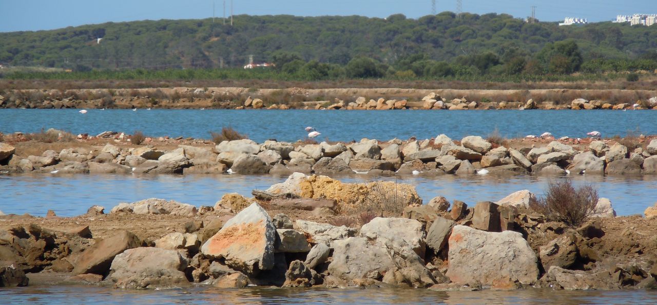
Cerro do Bufo Saltern
Cerro do Bufo Saltern
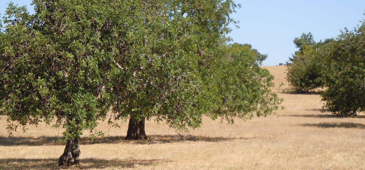
Orchard
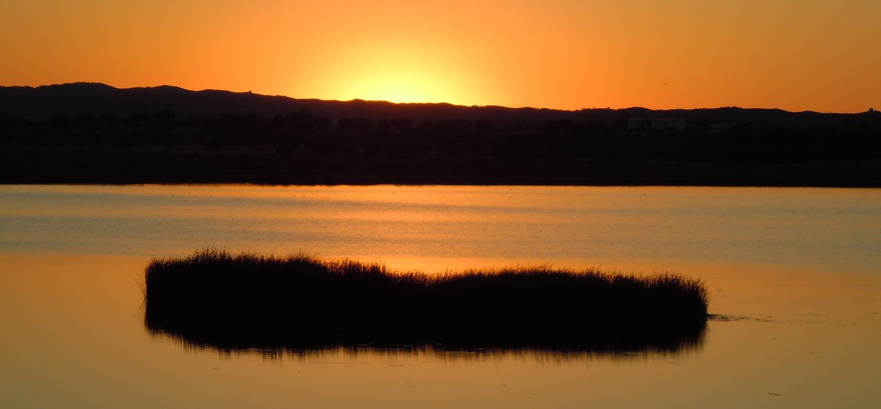
Esteiro da Carrasqueira north
Barquinha bike path (b)
Share Image
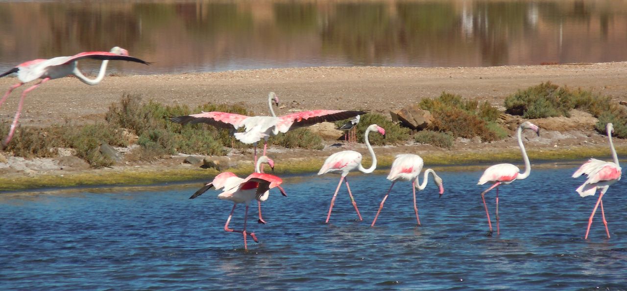
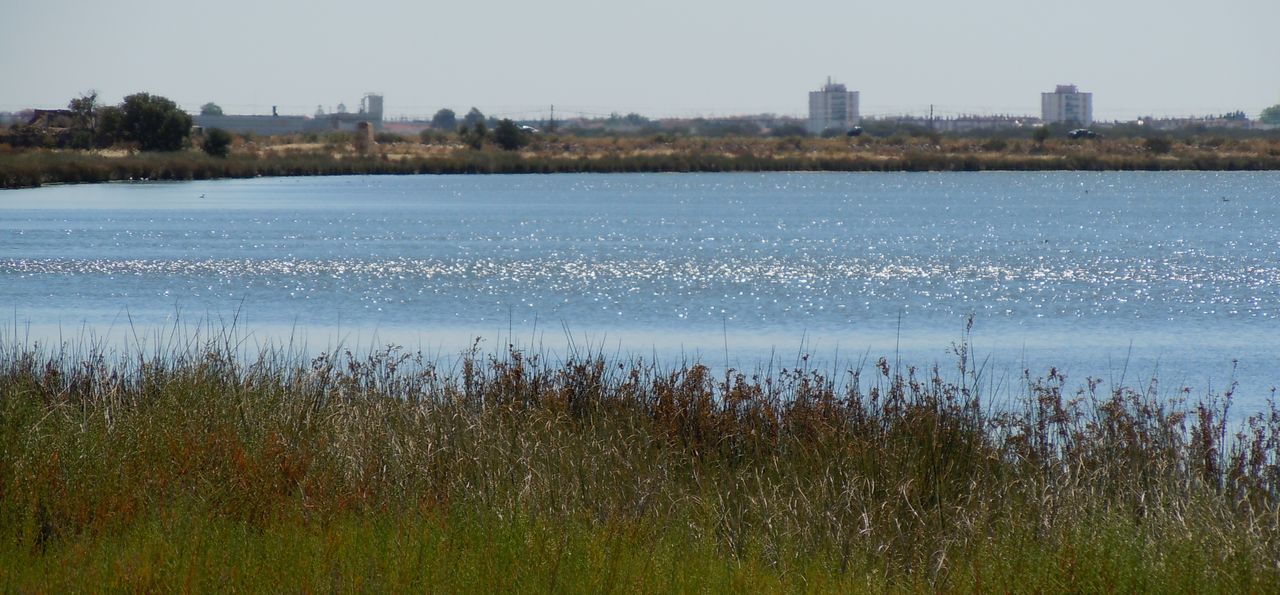
Esteiro da Carrasqueira is an extensive water channel which level changes with tides, connected to the Guadiana river, surrounded by salted marshes, salterns, orchards and market gardens. Borders south with the city of Vila Real Sto. António and west to Cerro do Bufo salterns. At low-tide it has large areas of mudflats filled with invertebrates, a food source for many aquatic birds, especially waders. It’s close to the town of Vila Real de Santo António with very easy access is very. In low tide you can observe several waders, gulls and herons. The extensive surrounding marshes are the hunting area of Western Marsh-harrier and Montagu's Harrier easy to observe. Many ducks, coots and, sometimes, Red-knobbed Coot can be seen here. The path is totally inside the Nature Reserve.

-
Esteiro da Carrasqueira is an extensive water channel which level changes with tides, connected to the Guadiana river, surrounded by salted marshes, salterns, orchards and market gardens. Borders south with the city of Vila Real Sto. António and west to Cerro do Bufo salterns. At low-tide it has large areas of mudflats filled with invertebrates, a food source for many aquatic birds, especially waders. It’s close to the town of Vila Real de Santo António with very easy access is very. In low tide you can observe several waders, gulls and herons. The extensive surrounding marshes are the hunting area of Western Marsh-harrier and Montagu's Harrier easy to observe. Many ducks, coots and, sometimes, Red-knobbed Coot can be seen here. The path is totally inside the Nature Reserve.
-
Algarve
-
Castro Marim
Vila Real de Santo António
-
Sapal de C. Marim e V. R. Sto. António Nature Reserve
Base Characterization
-
PTCON0013 Ria Formosa / Castro Marim
PTZPE0018 Sapais de Castro Marim (Castro Marim Sall Marshes)
Route Characterization
-
Acess to Vila Real de Sto. António from:
- Beja - N 122;
- Faro - Via do Infante - A22 (exit to Castro Marim) and N122; or by N125, EN122 direction Castro Marim;
- Ayamonte (Sapin) - A22 (exit to Castro Marim) and N122.
On N 122, between the bridge over Carrasqueira channel and the railway, there’s a path on the right – a dirt road - and one on the left. Both give access to several parts of this path. From there it is possible to walk along the bank of the channel.
GPS: 37.203078, -7.443929
-
No
-
N112 (direction Vila Real Sto António / Castro Marim) turn left to the first municipal way and go to the 1st municipal dirt road and follow to the confluence between the extreme northeast of Cerro do Bufo salterns and Carrasqueira’s channel.
-
Barquinha – N122 (direction Vila Real Sto António / Castro Marim), turn right after the bridge over Carrasqueira’s channel, before the railroad crossing.
-
2.26 Kilometers.
-
Spring, Autumn and Winter
-
1 h.
-
3 meters.
-
Easy
-
Linear
-
Todos os grupos
Supports in place
-
No.
Topographic Profile
Visit during low-tide and protect yourself from mosquitoes and sun. Nearby, in Vila Real de Sto. António, where you find restaurants and hotels, visit the historic center, Sto. António lighthouse and go for a walk in Mata Nacional das Dunas Litorais de V. Real de Sto. António (National Woods of V. Real de Sto. António’s Seashore Dunes).
Acess to Vila Real de Sto. António from:
- Beja - N 122;
- Faro - Via do Infante - A22 (exit to Castro Marim) and N122; or by N125, EN122 direction Castro Marim;
- Ayamonte (Sapin) - A22 (exit to Castro Marim) and N122.
On N 122, between the bridge over Carrasqueira channel and the railway, there’s a path on the right – a dirt road - and one on the left. Both give access to several parts of this path. From there it is possible to walk along the bank of the channel.
GPS: 37.203078, -7.443929


