
Hiking - Walking
Tourém Trail

Trilho de Tourém
Share Image
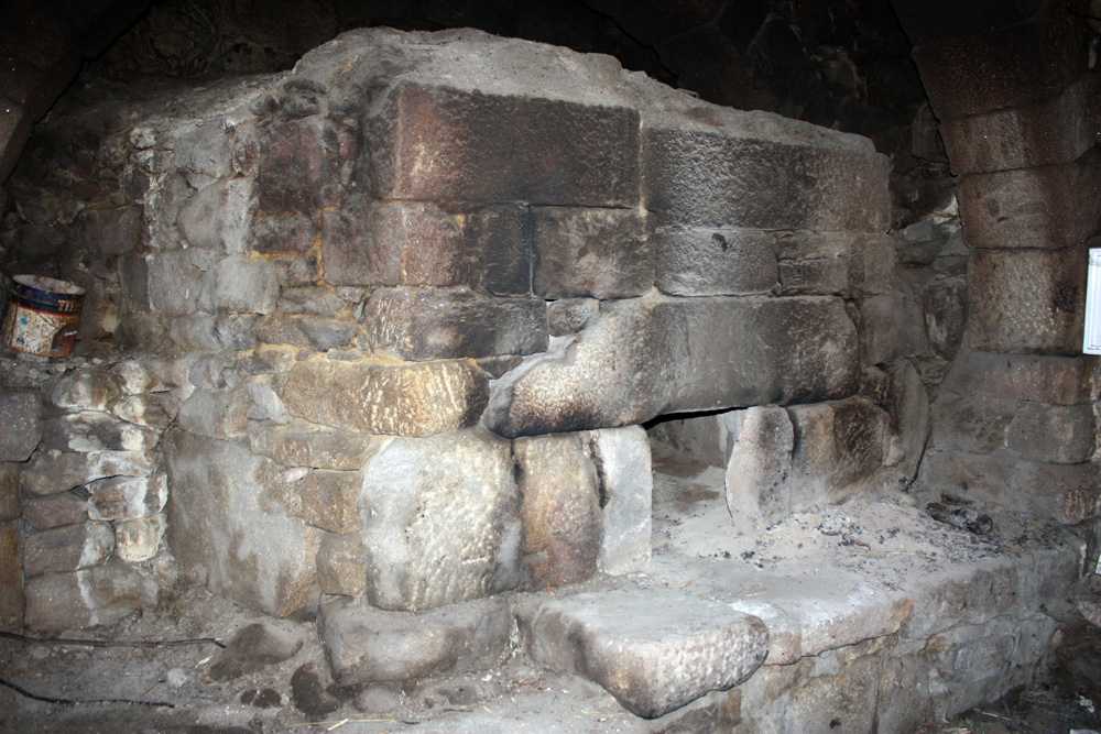
This trail has cultural and panoramic interest and allows you to know the border village of Tourém, in Mourela plateau and framed by the peaks of Gerês mountain and Salas reservoir. In this village see the architectural heritage. The botanical diversity and the proximity to Salas reservoir also make this region a privileged place for birdwatching.

-
This trail has cultural and panoramic interest and allows you to know the border village of Tourém, in Mourela plateau and framed by the peaks of Gerês mountain and Salas reservoir. In this village see the architectural heritage. The botanical diversity and the proximity to Salas reservoir also make this region a privileged place for birdwatching.
-
North
-
Montalegre
-
Peneda-Gerês National Park
Base Characterization
-
PTCON0001 Peneda/ Gerês
PTZPE0002 Serra do Gerês (Gerês Mountain)
-
Gerês-Xurés Transboundary Biosphere Reserve.
-
ADERE - Peneda Gerês
Route Characterization
-
Access to Montalegre from:
- Vila Real - A24 and N103;
- Braga - N103.
Access to Tourém from:
- Montalegre - N308 and EM513
- Braga, by Venda Nova; N103, N103-6, N308-4 and EM513.
GPS: 41.908325, -7.898107
-
No
-
Tourém
-
Tourém
-
3 km
-
All year long
-
2 - 3 h
-
100 m (860 m – 960 m)
-
Easy
-
Ring road
-
Todos os grupos
Supports in place
-
Marked and signalled according to Portuguese and international standards.
Topographic Profile
See the leaflet (in Portuguese). Fuel in Montalegre, Pisões and Venda Nova.
Access to Montalegre from:
- Vila Real - A24 and N103;
- Braga - N103.
Access to Tourém from:
- Montalegre - N308 and EM513
- Braga, by Venda Nova; N103, N103-6, N308-4 and EM513.
GPS: 41.908325, -7.898107


