
Hiking - Walking
PR9 TVD – Charming Trail


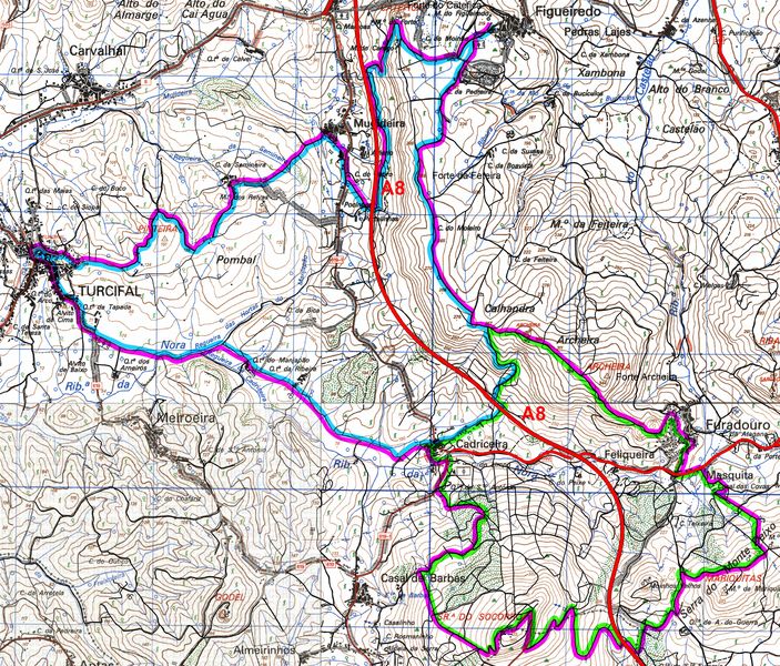
Map (the complete trail is in purple)
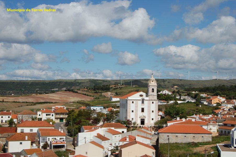
Turcifal
Holy Spirit chapel

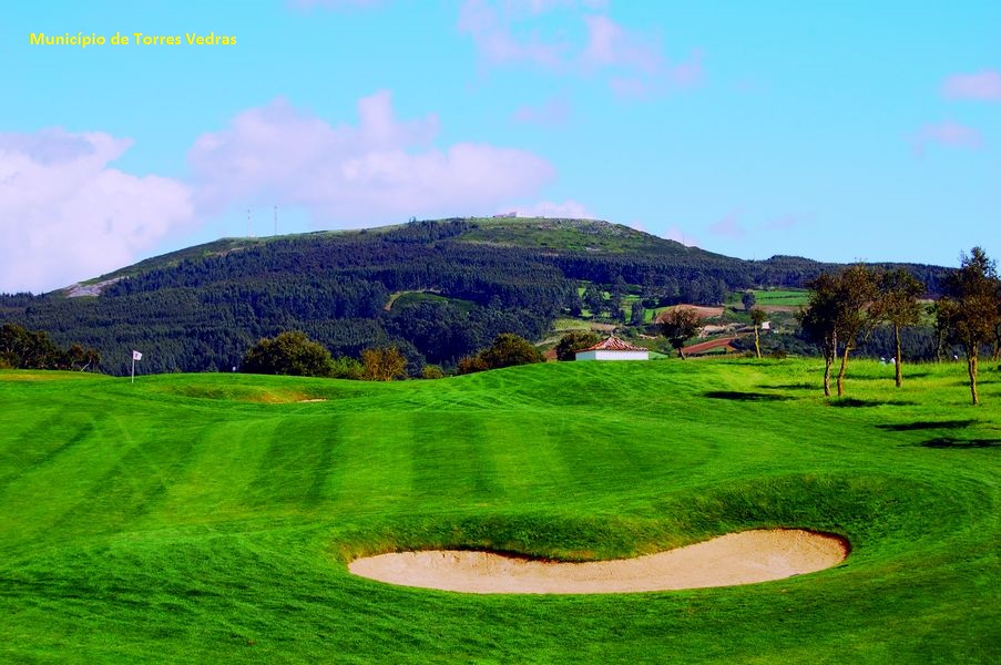
Golf court
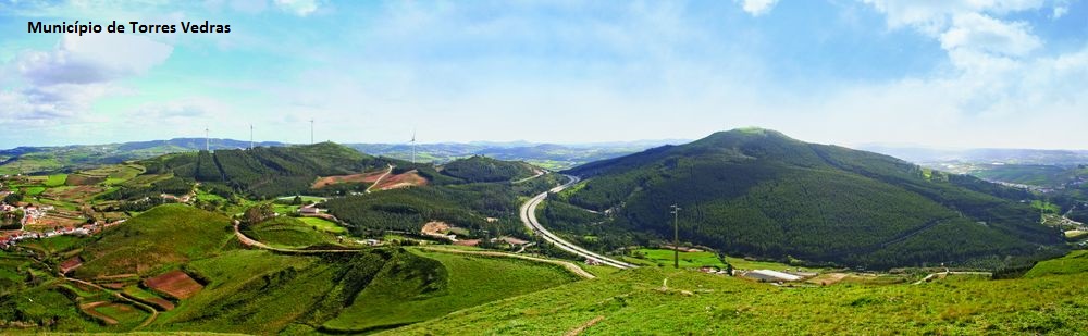
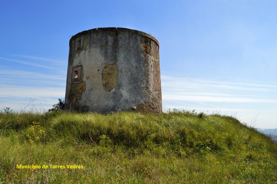
Socorro hills
Archeira fort
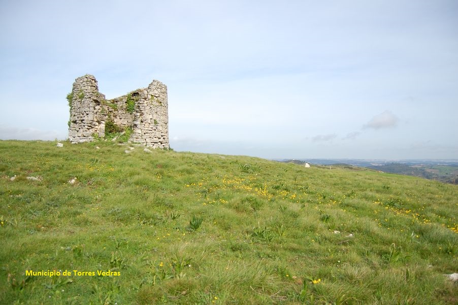
Feiteira fort
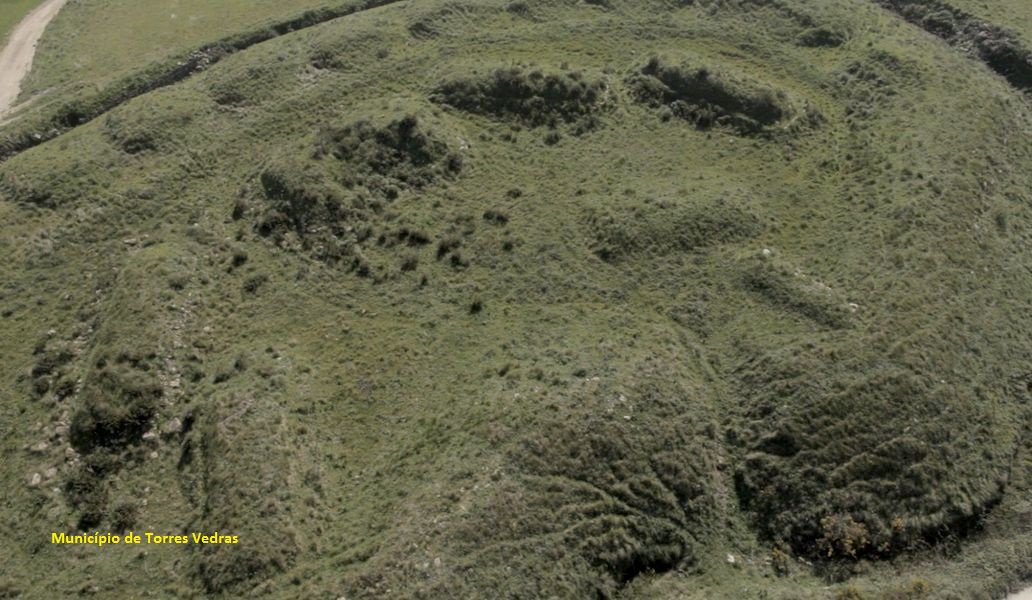
Catefica fort
PR9 TVD – Rota dos Encantos
Share Image
ATTENTION: route without signs. Use the map (leaflet) or GPS. The route starts at the Turcifal main church, following to junta de freguesia (the parish council), turning left to pass near the enchanting Holy Spirit chapel. After passing through the sports complex, follow through vineyards, towards Campo Real (royal field), passing through the golf courses until you reach Cadriceira, where is the Interpretation Center of Serras do Socorro and Archeira Local Protected Landscape. From here begins the ascent of Socorro hills, among a dense eucalyptus area, rewarded by a breathtaking view at its top, where is the hermitage of Our Lady of Socorro. Then begins the descent, passing by À-de-Guerra estate, followed by a new ascent to the Monte Deixo hills. The descent to Furadouro follows a part of the military path where is still very visible its characteristic pavement. After Furadouro we have another climb towards the Archeira fort, following the path along the summit overlooking A8 highway, passing through Feiteira fort. It then follows to the barely visible Catefica fort, along one of the best preserved parts of the military route, descending towards Mugideira. Almost with Turcifal in sight, there is still time to pass through Semineira, before returning to the starting point.

-
ATTENTION: route without signs. Use the map (leaflet) or GPS. The route starts at the Turcifal main church, following to junta de freguesia (the parish council), turning left to pass near the enchanting Holy Spirit chapel. After passing through the sports complex, follow through vineyards, towards Campo Real (royal field), passing through the golf courses until you reach Cadriceira, where is the Interpretation Center of Serras do Socorro and Archeira Local Protected Landscape. From here begins the ascent of Socorro hills, among a dense eucalyptus area, rewarded by a breathtaking view at its top, where is the hermitage of Our Lady of Socorro. Then begins the descent, passing by À-de-Guerra estate, followed by a new ascent to the Monte Deixo hills. The descent to Furadouro follows a part of the military path where is still very visible its characteristic pavement. After Furadouro we have another climb towards the Archeira fort, following the path along the summit overlooking A8 highway, passing through Feiteira fort. It then follows to the barely visible Catefica fort, along one of the best preserved parts of the military route, descending towards Mugideira. Almost with Turcifal in sight, there is still time to pass through Semineira, before returning to the starting point.
-
Lisbon and Tagus Valley
-
Torres Vedras
-
Serras do Socorro e Archeira Local Protected Landscape
Base Characterization
-
Câmara Municipal de Torres Vedras
Route Characterization
-
By car
Access to Turcifal by A8, exit Torres Vedras Sul. On the roundabout after the tolls, take the 1st exit (Torres Vedras). After 3 km, tunr left (signs to Turcifal).
GPS: 39.04194, -9.265988
Public transports (to Turcifal):
- bus.
-
No
-
Turcifal main church
-
Turcifal main church
-
23.4 km
-
All year long
-
5 h
-
323 meters (62 m to 385 m)
-
Medium
-
Ring road
-
Todos os grupos
Topographic Profile
Learn more
Stay on the path, respect private property and be nice, remember that locals take care for the nature you care about, and if you have any problems, they will be the first to help you. See the fauna from a distance, preferably with binoculars. If you walk in silence and talk quietly, it will be easier to see wildlife, especially birds, so do not disturb the place peace. Remember plants produce the oxygen you breathe, so do not harm them. Bring the trash with you and put it in a suitable place. Fire is a danger to all, so do not make fire, and if you can’t resist the temptation to smoke, extinguish the cigarette butt with water and don’t leave it on the ground. Take just pictures and good memories, so leave plants, rocks, mushrooms and other living creatures in place. Beware of cattle, though tame, does not like approaching especially to its offspring.
By car
Access to Turcifal by A8, exit Torres Vedras Sul. On the roundabout after the tolls, take the 1st exit (Torres Vedras). After 3 km, tunr left (signs to Turcifal).
GPS: 39.04194, -9.265988
Public transports (to Turcifal):
- bus.


