
Hiking - Walking
Margaraça forest


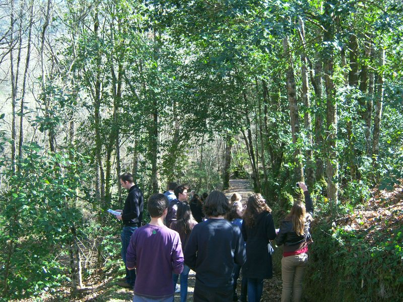
Starting from Margaraça Forest Interpretation Center…
An old water dam was used to irrigate farmlands.
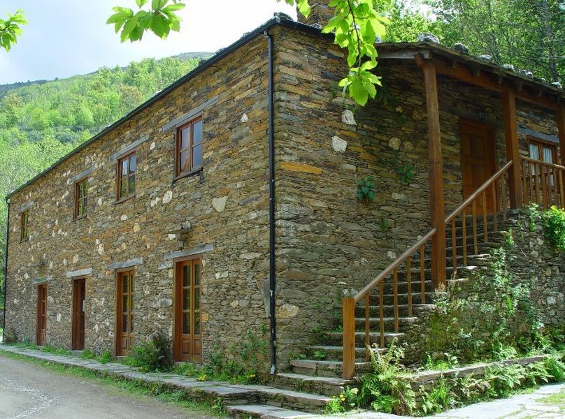
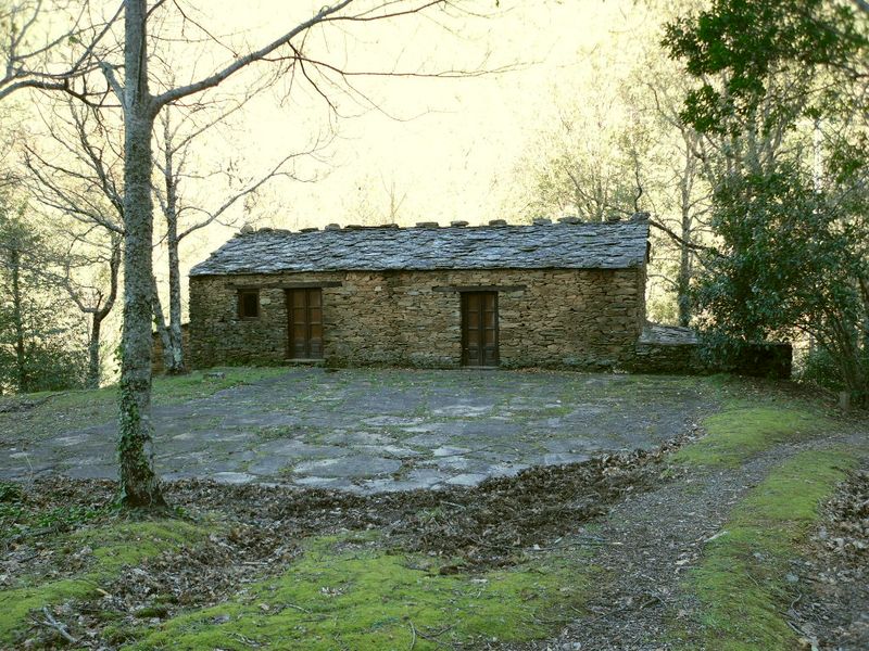
In Casa da Eira (threshing-floor house) a small museum gives a glimpse on the daily life of the people and mountain villages...
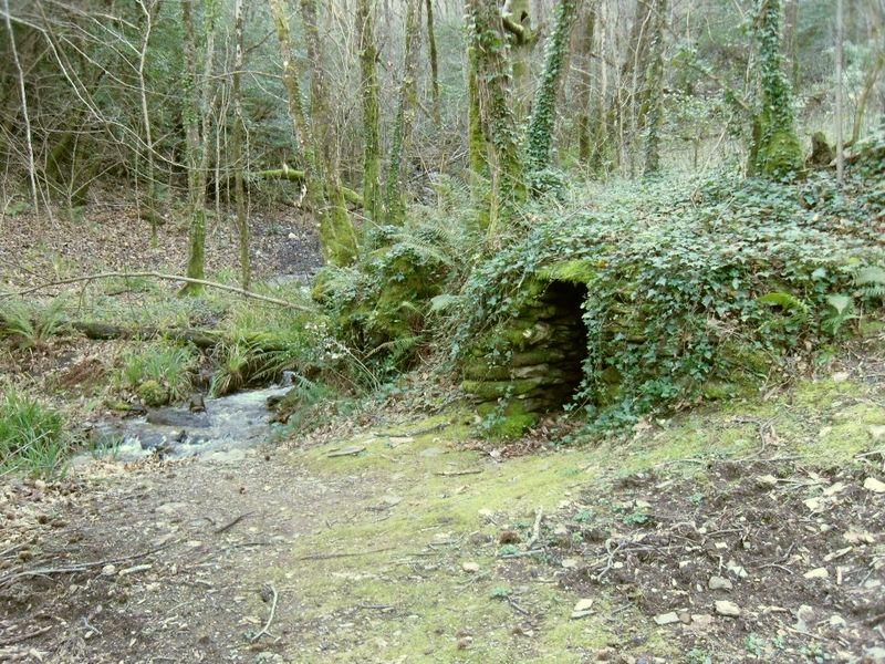
In the scrap furnace was prepared the chestnut wood to make baskets…
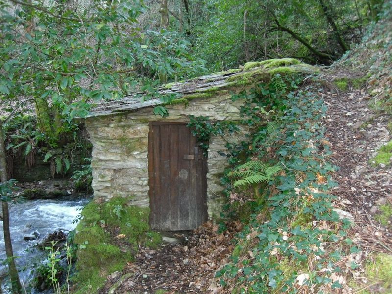
An old watermill water resists time...
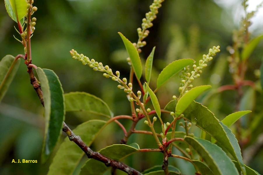
Prunus lusitanica still exists here.
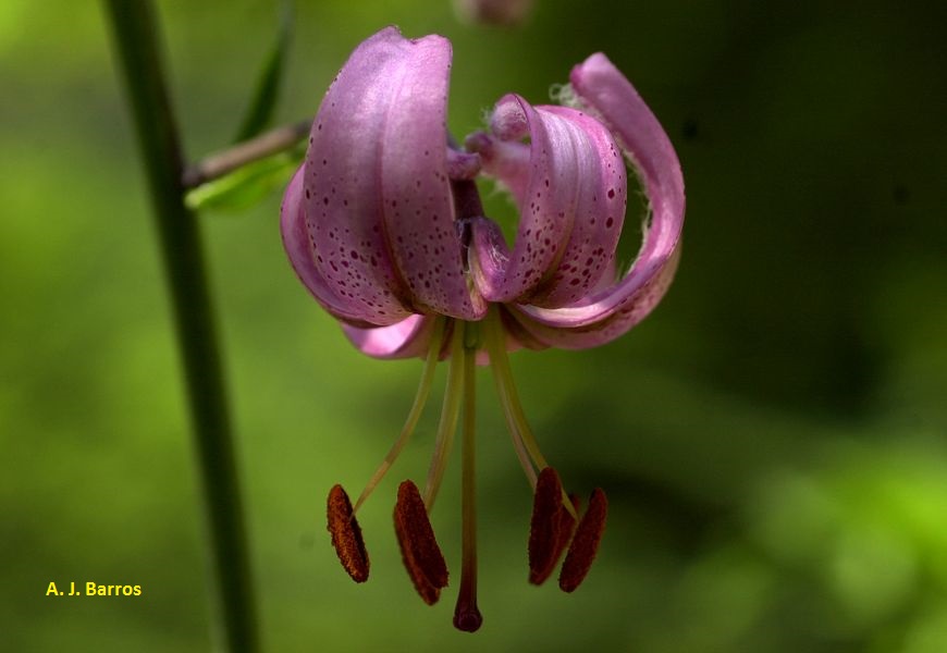
Such as the Martagon lily...
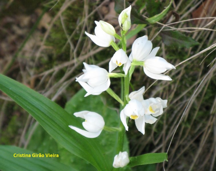
And some orchids…
Come discover Margaraça Forest!
Mata da Margaraça
Share Image
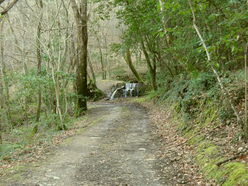
The route starts near the Protected Area Interpretation Centre. Along the route enjoy the forest tranquility, its characteristic smells and sounds and observe: the old dam water; former agricultural land; a small core museum at Casa da Eira; scrap furnaces (schist construction where was prepared the chestnut wood used to make baskets); horizontal rotation watermill next to the river. The forest plants characteristics species can be observed throughout the route. The route crosses one of the oldest areas of agricultural land, if you look carefully, you can see that it is still terrains worked in such a way as to have more gentle slopes. These terraces or “quelhadas”, separated by old schist walls, are a trace of the former agricultural use of these lands. Early in the trail, on the right side, you can see an old water dam used to irrigate farmlands. One water channel (levada), with some visible traces, was used to watering the land. Half a century ago the land was being abandoned because of depopulation and of aging. The forest have been gradually conquering the territory that once belonged to it, so today you can see the species characteristic of this type of forest, including oaks, chestnut, Prunus lusitanica ssp. lusitanica, holly, elm, walnut, cherry, etc.. Some chestnut trees were grafted with more interesting varieties in terms of fruit production (longal, vermelhinha, riscadinha and martaínha) technique also used in old chestnuts area of the farm. This forest is a relic of the primeval one that covered these schistose highlands before human intervention. Successive fires, forest cuts to have arable land and grazing eventually reduce an old leafy forest to extensive areas of scrub that now cover this mountain. Only a few traces of this ancient forest are left and Margaraça is the most extensive and well maintained one.

-
The route starts near the Protected Area Interpretation Centre. Along the route enjoy the forest tranquility, its characteristic smells and sounds and observe: the old dam water; former agricultural land; a small core museum at Casa da Eira; scrap furnaces (schist construction where was prepared the chestnut wood used to make baskets); horizontal rotation watermill next to the river. The forest plants characteristics species can be observed throughout the route. The route crosses one of the oldest areas of agricultural land, if you look carefully, you can see that it is still terrains worked in such a way as to have more gentle slopes. These terraces or “quelhadas”, separated by old schist walls, are a trace of the former agricultural use of these lands. Early in the trail, on the right side, you can see an old water dam used to irrigate farmlands. One water channel (levada), with some visible traces, was used to watering the land. Half a century ago the land was being abandoned because of depopulation and of aging. The forest have been gradually conquering the territory that once belonged to it, so today you can see the species characteristic of this type of forest, including oaks, chestnut, Prunus lusitanica ssp. lusitanica, holly, elm, walnut, cherry, etc.. Some chestnut trees were grafted with more interesting varieties in terms of fruit production (longal, vermelhinha, riscadinha and martaínha) technique also used in old chestnuts area of the farm. This forest is a relic of the primeval one that covered these schistose highlands before human intervention. Successive fires, forest cuts to have arable land and grazing eventually reduce an old leafy forest to extensive areas of scrub that now cover this mountain. Only a few traces of this ancient forest are left and Margaraça is the most extensive and well maintained one.
-
Center
-
Arganil
-
Serra do Açor Protected Landscape
Base Characterization
-
PTCON0051 Complexo do Açor (Açor Complex)
-
“Mata da Margaraça” - Biogenetic Reserve - Council of Europe.
-
Instituto da Conservação da Natureza e das Florestas, I.P.
Route Characterization
-
Access:
- N17 (Estrada da Beira) turn to Coja. Take N334 and turn to Benfeita, passing through Pardieiros.
GPS: 40.216393, -7.919031
-
Yes
-
Interpretative Center – Margaraça Forest
-
Interpretative Center – Margaraça Forest
-
1.5 km
-
All year long
-
1:30 h
-
66 meters.
-
Medium
-
Ring road
-
Todos os grupos
Supports in place
-
Information panel at the beginning and signs along the route.
Topographic Profile
Access:
- N17 (Estrada da Beira) turn to Coja. Take N334 and turn to Benfeita, passing through Pardieiros.
GPS: 40.216393, -7.919031


