
Hiking - Walking
PR Quinta da Serra Trail


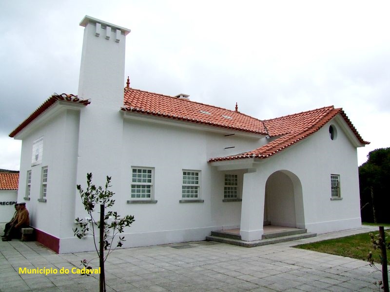
Environmental Interpretation Center of serra de Montejunto
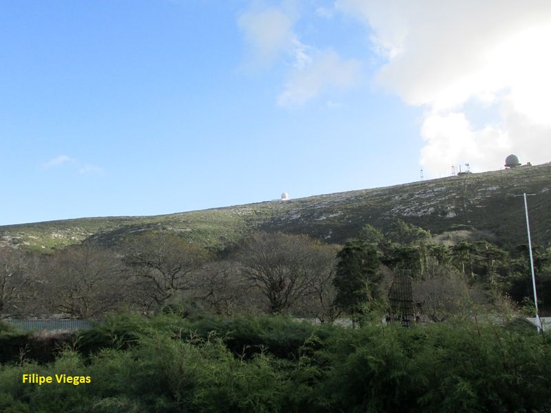
And walking near Montejunto hills...
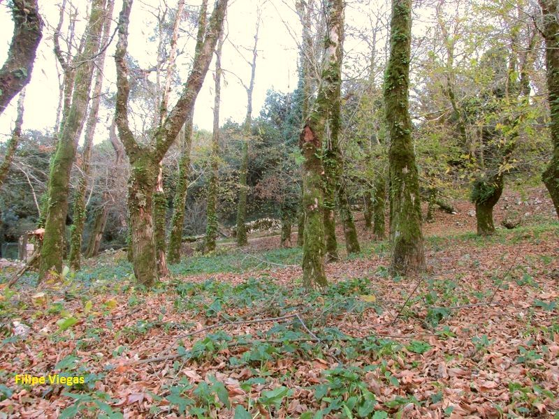
Walking by a chestnut tree woods...
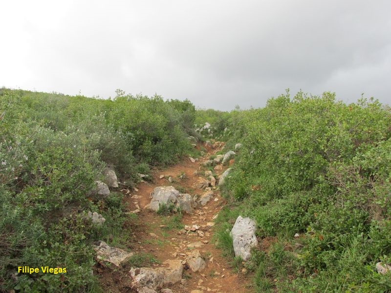
And shrubs of the limestone areas ...
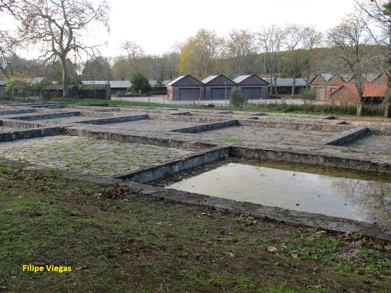
You get to the Royal Ice Factory...
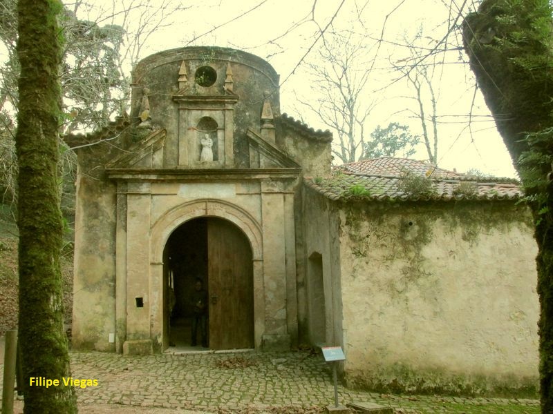
Where was made the ice to the Lisbon court...
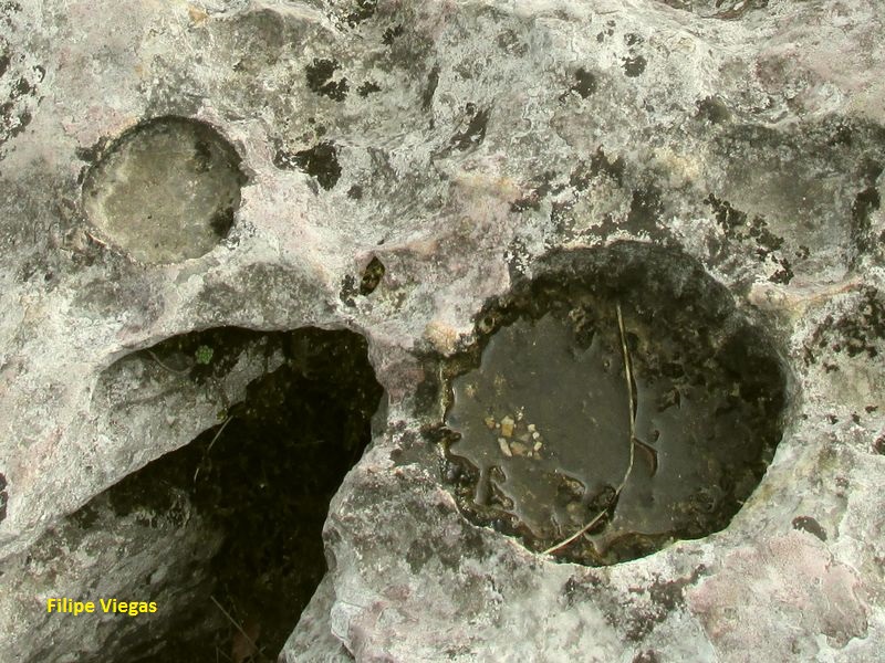
See the forms created by erosion...
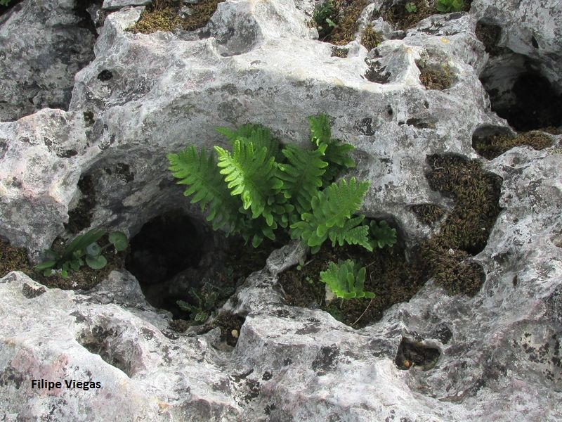
And admire the life that arises even the roughest places!
PR Trilho da Quinta da Serra
Share Image
This route is on the foothills of Montejunto, on the northern edge of Serra de Montejunto Protected Landscape, in Lamas parish, Cadaval. You will see a wood of chestnut trees, patches of pines and cedars and small tufts of rosemary. It is also possible to admire beautiful landscapes, characteristic of Montejunto‘s limestone massif and vineyards, orchards and other crops surrounding the hills. At the end, you will see a small permanent lagoon. Since it is a limestone area take special care and avoid lefting the track, because the holes, caused by erosion, can be quite dangerous. NEAR THE WATCH TOWER AREA TAKE EVEN MORE CAUTION, especially on windy days!!! Keep safe!

-
This route is on the foothills of Montejunto, on the northern edge of Serra de Montejunto Protected Landscape, in Lamas parish, Cadaval. You will see a wood of chestnut trees, patches of pines and cedars and small tufts of rosemary. It is also possible to admire beautiful landscapes, characteristic of Montejunto‘s limestone massif and vineyards, orchards and other crops surrounding the hills. At the end, you will see a small permanent lagoon. Since it is a limestone area take special care and avoid lefting the track, because the holes, caused by erosion, can be quite dangerous. NEAR THE WATCH TOWER AREA TAKE EVEN MORE CAUTION, especially on windy days!!! Keep safe!
-
Lisbon and Tagus Valley
-
Cadaval
-
Serra de Montejunto Protected Landscape
Base Characterization
-
Serra de Montejunto Forest Perimeter.
-
Cadaval Municipality
Route Characterization
-
By car
Access, coming from North or South, by:
- A1. Exit toward Aveiras / Alcoentre / Azambuja. At the roundabout take the 3rd exit to N366. Cross Alcoentre and continue on N366. At the roundabout take the 3rd exit towards Cercal. In Cercal, at the roundabout, take the 3rd exit - sirection Cadaval. Go straight ahead until you reach Cadaval (N115); or
- A8. Exit toward Bombarral / Cadaval. At the roundabout take the 1st exit - direction Cadaval. Cross Sanguinhal and go straight ahead until you reach Cadaval (N361).In Cadaval take N115 to Pragança. There take N115-1 to R. 1º de Dezembro, direction Arieiro. Pass Arieiro and continue to Lamas.
-
Yes
-
Environmental and Interpretation Center of Montejunto’s hills
-
Environmental and Interpretation Center of Montejunto’s hills
-
4.8 Km
-
All year long
-
2:30h
-
81 meters.
-
Easy
-
Ring road
-
Todos os grupos
Supports in place
-
Signaling, without detail information, but in accordance with Portuguese Camping and Mountaineering Federation rules. All signs are identified with "Trilho da Penha do Meio Dia" logo.
-
Environmental Interpretation Center of Serra de Montejunto, camping and picnic area.
Topographic Profile
For security and route information reasons, we recommend the company of a guide of the Environmental Interpretation Center.
By car
Access, coming from North or South, by:
- A1. Exit toward Aveiras / Alcoentre / Azambuja. At the roundabout take the 3rd exit to N366. Cross Alcoentre and continue on N366. At the roundabout take the 3rd exit towards Cercal. In Cercal, at the roundabout, take the 3rd exit - sirection Cadaval. Go straight ahead until you reach Cadaval (N115); or
- A8. Exit toward Bombarral / Cadaval. At the roundabout take the 1st exit - direction Cadaval. Cross Sanguinhal and go straight ahead until you reach Cadaval (N361).
In Cadaval take N115 to Pragança. There take N115-1 to R. 1º de Dezembro, direction Arieiro. Pass Arieiro and continue to Lamas.


