
Hiking - Walking
GR15 - Guadiana


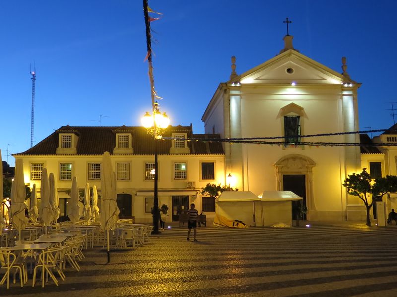
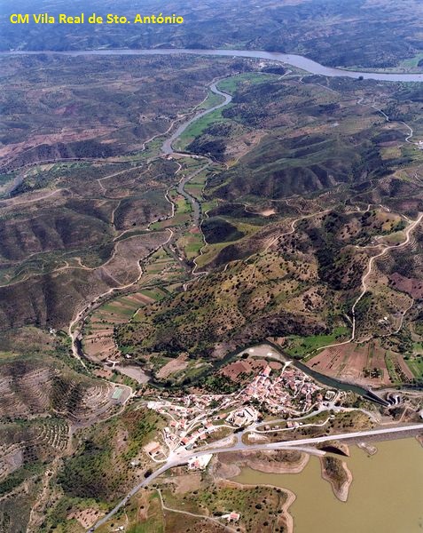
Before starting the route, stroll by Vila Real de Sto. António and see the main church...
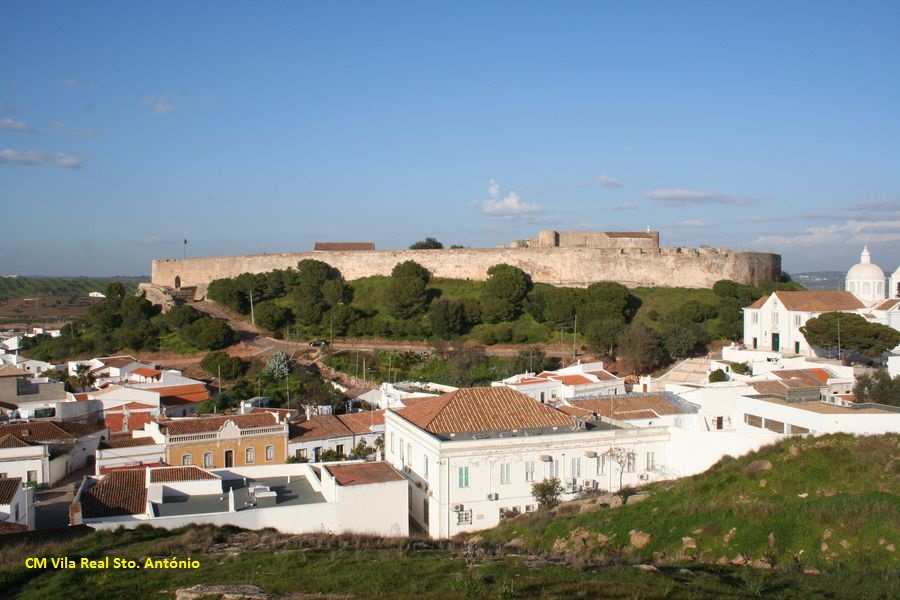
In Castro Marim see the castle.
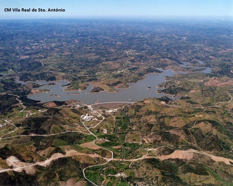
Near Junqueira see Beliche dam…
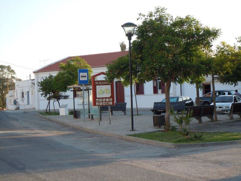
In Azinhal look for the artisans “bilros” laces...
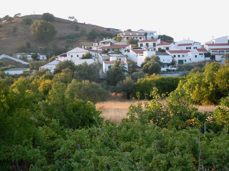
In Odeleite see the main church, the “Casa de Odeleite”, the dam and nearby Pernadas mill...
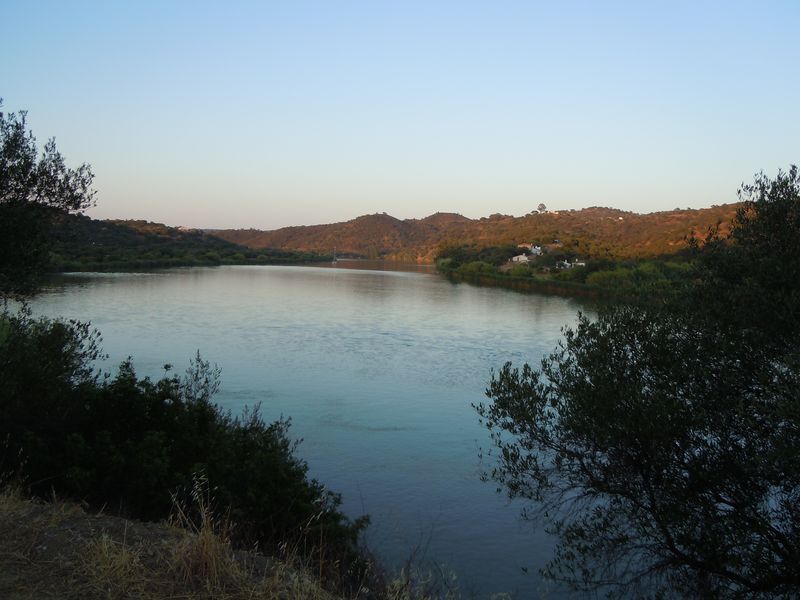
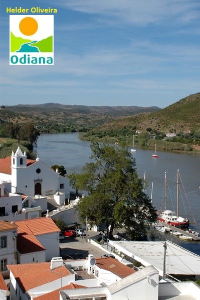
At Foz de Odeleite see where the river flows into the Guadiana...

In Guerreiros do Rio know Museu do Rio (river Museum) and learn more about Guadiana river...
Continue following the Guadiana river passing through Laranjeiras…
In Montinho das Laranjeiras keep looking at Guadiana river…
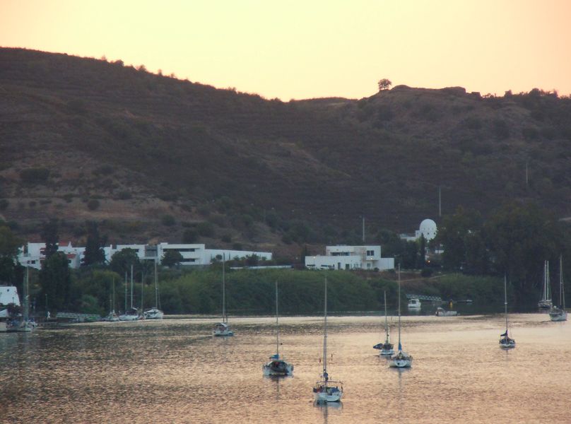
Arriving at Alcoutim is time to rest before visiting the castle, the main church and the Sacred Art Museum! Alcoutim
GR 15 Grande Rota do Guadiana
Share Image
The Lower Guadiana marks the border between Portugal and Spain. Navigable between the mouth and Mértola, it was an important waterway, notably to transport the ore exploited in the mines of S. Domingos, from Roman times. In a region where water is scarce, this river and its tributaries are an attraction for wildlife and human beings. The Great Guadiana Route (GR15) is about 60 km long and covers the territory of Lower Guadiana in Algarve. The route crosses 3 municipalities (Alcoutim, Castro Marim and Vila Real de Santo António) and travels for 16 locations that represent the typical characteristics of the mountain, the barrocal and the coast, with the ex-libris of the territory: Guadiana, the great river of the south. GR 15 starts in Vila Real de Santo António and has a connection with Algarve Ecovia - a green corridor marked with 214 Km towards Sagres. The route continues to Castro Marim towards Monte Francisco, passing through the villages of Junqueira, Azinhal, Almada de Ouro, Alcaria, Odeleite, Foz de Odeleite and enter the northeastern municipality of Alcoutim, in the mountain village of Corte das Donas where begins going up the river, passing through the villages of Álamo, Guerreiros do Rio, Laranjeiras and Montinho das Laranjeiras just to the belvedere at Pontal. GR15 keeps going to the village of Marmeleiro and, finally, Alcoutim, with a connection to Via Algarviana (GR13 - with a length of 300 km and connecting Alcoutim to S. Vicente cape, crossing 11 municipalities in Algarve). Landscape, heritage, ethnography, gastronomy, physical activity and fresh air are the secret of this great route that consolidates the pedestrian routes in Lower Guadiana, approaching the coast to the interior. Feel the aAdventure in Lower Guadiana trails! Note: until the thirteenth century, Guadiana was called Ana. In Arabic, river was uádi, resulting Odiana. The Castilian language has turned w uádi into Guadi resulting in Guadiana.

-
The Lower Guadiana marks the border between Portugal and Spain. Navigable between the mouth and Mértola, it was an important waterway, notably to transport the ore exploited in the mines of S. Domingos, from Roman times. In a region where water is scarce, this river and its tributaries are an attraction for wildlife and human beings. The Great Guadiana Route (GR15) is about 60 km long and covers the territory of Lower Guadiana in Algarve. The route crosses 3 municipalities (Alcoutim, Castro Marim and Vila Real de Santo António) and travels for 16 locations that represent the typical characteristics of the mountain, the barrocal and the coast, with the ex-libris of the territory: Guadiana, the great river of the south. GR 15 starts in Vila Real de Santo António and has a connection with Algarve Ecovia - a green corridor marked with 214 Km towards Sagres. The route continues to Castro Marim towards Monte Francisco, passing through the villages of Junqueira, Azinhal, Almada de Ouro, Alcaria, Odeleite, Foz de Odeleite and enter the northeastern municipality of Alcoutim, in the mountain village of Corte das Donas where begins going up the river, passing through the villages of Álamo, Guerreiros do Rio, Laranjeiras and Montinho das Laranjeiras just to the belvedere at Pontal. GR15 keeps going to the village of Marmeleiro and, finally, Alcoutim, with a connection to Via Algarviana (GR13 - with a length of 300 km and connecting Alcoutim to S. Vicente cape, crossing 11 municipalities in Algarve). Landscape, heritage, ethnography, gastronomy, physical activity and fresh air are the secret of this great route that consolidates the pedestrian routes in Lower Guadiana, approaching the coast to the interior. Feel the aAdventure in Lower Guadiana trails! Note: until the thirteenth century, Guadiana was called Ana. In Arabic, river was uádi, resulting Odiana. The Castilian language has turned w uádi into Guadi resulting in Guadiana.
-
Alentejo
Algarve
-
Alcoutim
Castro Marim
Vila Real de Santo António
-
Sapal de C. Marim e V. R. Sto. António Nature Reserve
-
Museologic Center of Castro Marim Castle
Territorial Interpretation Centre of Castro Marim
'António Aleixo' Cultural Center
Base Characterization
-
PTCON0013 Ria Formosa / Castro Marim
PTCON0036 Guadiana
PTZPE0018 Sapais de Castro Marim (Castro Marim Sall Marshes)
-
Ramsar site - Castro Marim Salt Marsh
-
ODIANA – Associação para o Desenvolvimento do Baixo Guadiana
Route Characterization
-
Access to Vila Real de Santo António from:
- Faro:
- Via do Infante: A22 (exit to Castro Marim) and N122; or
- N125;
- Ayamonte (Espanha) - A22 (exit to Castro Marim) and N122.
-
Yes
-
Vila Real de Santo António, Av. da República
-
Alcoutim
-
About 65 km.
-
Spring, Autumn and Winter
-
2 to 4 days
-
145 meters.
-
Medium
-
Linear
Supports in place
-
Yes.
-
With signs, picnic areas and viewpoints.
Topographic Profile
Be sure you are in good shape and avoid making the trip in very hot days, because GR15 has few shadows.
Access to Vila Real de Santo António from:
- Faro:
- Via do Infante: A22 (exit to Castro Marim) and N122; or
- N125;
- Ayamonte (Espanha) - A22 (exit to Castro Marim) and N122.


