
Infrastructure
Interpretation Center of Lines of Torres


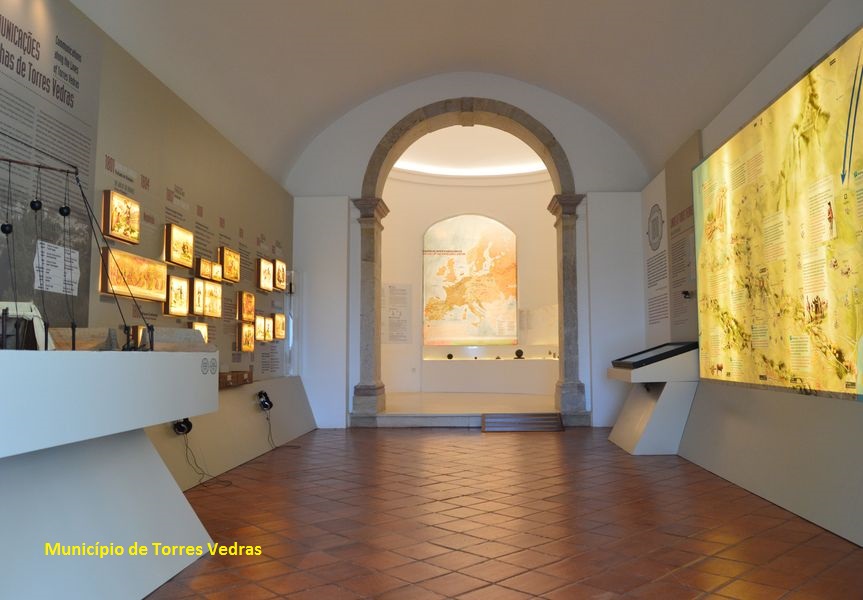
Inside the Interpretation Center
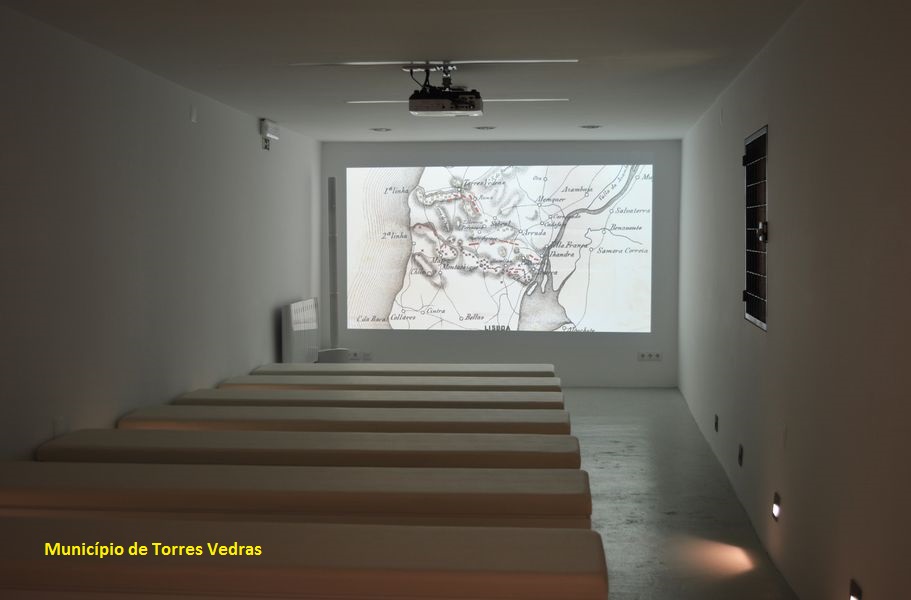
Auditorium
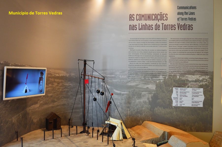
Part of the exhibition on the communications system
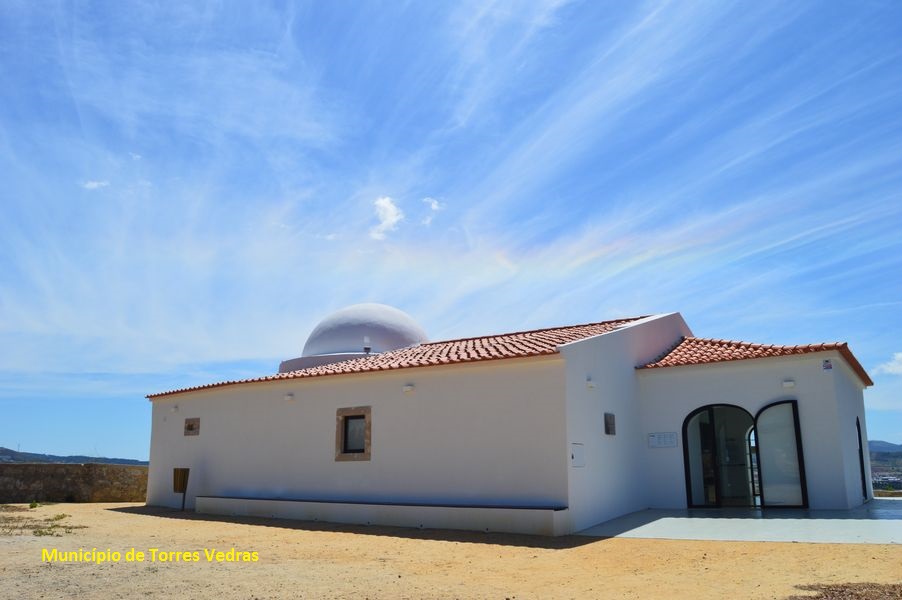
Interpretation Center facade
The Lines of Torres
Several aspects of the exhibition
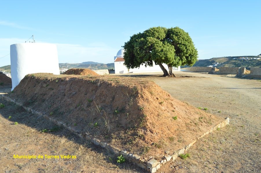
Detail of Saint Vicent fort
&nbps
Share Image
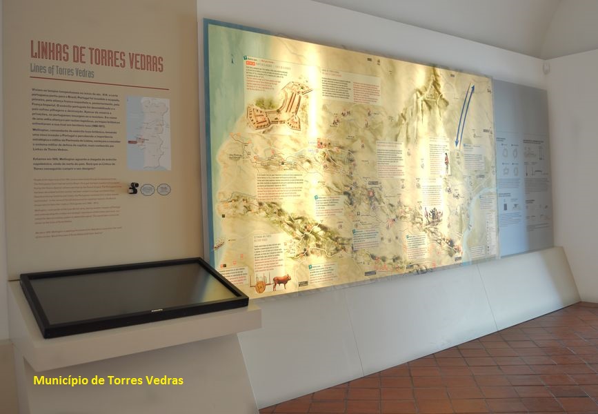
In Saint Vicent chapel, that gave name to the fort, the Lines of Torres Interpretation Center allows you to understand the central role of the Torres Lines in 1810 for the Anglo-Portuguese troop’s victory over the French through new approaches on the subject that will allow a greater enjoyment of the patrimony, thanks to the "in loco" interpretation.
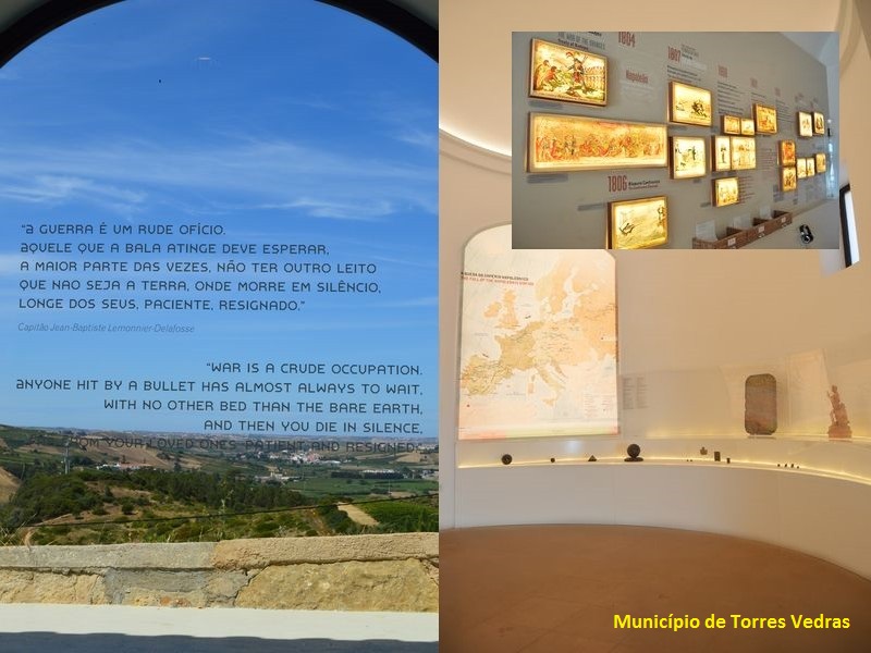
The nave and main chapel are reserved for the exhibition nuclei with some museum pieces, infographics, models, audio, audiovisual and multimedia resources.
In the auditorium you can watch a film / documentary, presenting an historical overview on those days, highlighting the 3rd French invasion of the Portuguese territory, commanded by General Massena, the exile of the population and the north of Lisbon defensive system, protecting the access to the capital, Lisbon.
In one of the main military structures of that defensive system, this infrastructure is part of the network of interpretive centers of the Historical Route of the Lines of Torres (RHLT): Arruda dos Vinhos; Loures; Mafra; Sobral de Monte Agraço; and Vila Franca de Xira.
-
Interpretation Center of Lines of Torres
-
In Saint Vicent chapel, that gave name to the fort, the Lines of Torres Interpretation Center allows you to understand the central role of the Torres Lines in 1810 for the Anglo-Portuguese troop’s victory over the French through new approaches on the subject that will allow a greater enjoyment of the patrimony, thanks to the "in loco" interpretation.
The nave and main chapel are reserved for the exhibition nuclei with some museum pieces, infographics, models, audio, audiovisual and multimedia resources.
In the auditorium you can watch a film / documentary, presenting an historical overview on those days, highlighting the 3rd French invasion of the Portuguese territory, commanded by General Massena, the exile of the population and the north of Lisbon defensive system, protecting the access to the capital, Lisbon.
In one of the main military structures of that defensive system, this infrastructure is part of the network of interpretive centers of the Historical Route of the Lines of Torres (RHLT): Arruda dos Vinhos; Loures; Mafra; Sobral de Monte Agraço; and Vila Franca de Xira.
-
Lisboa e Vale do Tejo
-
Torres Vedras
-
Serras do Socorro e Archeira Local Protected Landscape
-
Município de Torres Vedras
Identification and Access
-
Identifying and informative signs of the infrastructure. Signs on the road.
-
Access to Torres Vedras from:
- Lisboa - A8 direction Leiria exit 7 – Torres Vedras Sul. Instead you can also take N8 by Venda do Pinheiro and Turcifal to Torres Vedras.
- Porto - A1 exit diretion Aveiro, go to A25, continue on A17 direction Leiria. Take A8 and go to exit 8 – Torres Vedras Norte. Instead you can take N1 by Leiria just to Rio Maior. From Rio Maior take IC2 to Alcoentre and N115 to Torres Vedras.
GPS: 39.099437, -9.264598
Public transports
Bus:
- Barraqueiro Oeste from Lisboa - Campo Grande (near the metro station)
Train - Linha do Oeste (west line)
Contacts, Schedules and other informations
-
Interpretation Centre
-
Store
Reception of visitors | information office
Exhibition | interpretation space of natural and cultural values
Paths
Auditorium
Viewpoint
Guided tours
Cultural Activities
Exhibitions
-
Centro de Interpretação das Linhas de Torres
Forte de S. Vicente
Rua do Forte de S. Vicente
2560-629 Torres Vedras
-
Preço: 2 €. Gratuito (domingos ou menores de 6 anos). Descontos para famílias e vários grupos - contacte o centro.
-
uesday to Sunday: 10 am – 1 pm and 2 pm -6 pm
-
Monday, January 1, Mardi Gras, Sunday after Carnival, Easter Sunday, May 1 and December 24 and 25.
-
Yes
-
Ramps and adapted WC.
Tips
-
Visit the several forts that are part of the Lines of Torres.


